Del Rio: A Fountain in the Desert
In the desert, water is everything.
So it should come as no surprise that in the history of Del Rio, a Southwest Texas border city of some 45,000 people incorporated in 1911, that the clear liquid gold commodity has played a key role in the area’s rich history.
In fact, the very existence of Del Rio itself is due to water, primarily the presence of the nearby Rio Grande River and the voluminous San Felipe Springs that empties into it.
The Rio Grande (Spanish for Big River) is the fourth longest in the United States and is one of the continent’s most historically significant and ecologically important drainages. It begins in the high country of Colorado, travels through New Mexico, and forms the Texas/Mexico International Boundary before emptying into the Gulf of Mexico near Brownsville.
Eight miles north of the river near Del Rio are the clear, bubbling waters of San Felipe Springs. First described by early Spanish explorers as a group of seven deep and clear pools, the springs’ cool waters comprise San Felipe Creek and helped lead to the establishment of a mission in 1808 and a settlement in 1834.
So important are the springs, the fourth largest in Texas, that in 1806, R.T. Hill and T.W. Vaughn penned these words about the aquatic birthplace of what would one day be Del Rio:
“From the deep-seated rock at its
bottom the water can be seen welling up in a greatcolumn, and has the same peculiar greenish-bluecolor as that of the other streams of this class. No trees surround it; it is alone – a fountain in the desert.”
Today, this spring still produces 90 million gallons of water and continues to supply the water needs, not to mention a few cool swimming holes, for the city of Del Rio and nearby Laughlin Air Force Base, the busiest pilot training base in the U.S. Air Force command (and the former home to reconnaissance planes that discovered Soviet missiles in Cuba in 1962, sparking the Cuban Missile Crisis).
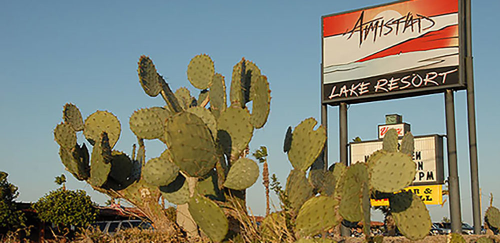
If San Felipe Springs has played a tremendous role in Del Rio’s past, the presence of the nearby Amistad Reservoir plays a key role in the city’s present.
Impounded in 1969, Lake Amistad as most anglers know it is a 64,900-acre water body where the Rio Grande River meets with the Devil’s River. In addition to being fed by the Rio Grande, the Devil’s, and the Pecos rivers, Amistad’s water is partially supplied by the 89 million gallon per day Good Enough Springs a number of miles to the West of the reservoir’s dam.
In addition to providing flood control, irrigation water, water conservation and storage, and hydroelectric power, the reservoir (managed jointly by the U.S. and Mexico through the International Boundary and Water Commission) is an important source of recreation for the Del Rio area.
Part of that recreation comes through the National Park Service’s 67,000-acre Amistad National Recreation Area, a wonderful resource for water-based recreation (fishing, boating, water skiing, swimming, and scuba diving); camping; hunting; and exploration of a wide variety of wildlife, bird life, plant life, and even prehistoric rock art.
But far and away, Amistad’s greatest claim to fame is its recreational fishing opportunities, spearheaded by great angling action for largemouth bass and to a lesser degree smallmouth bass, striped bass, catfish, and sunfish.
Serviced by several boat ramps and a small number of marinas, launch facilities are available on the Texas side of Amistad and include National Parks Service sites at Diablo East and at Rough Canyon Marina. Other launch sites include Southwinds/Air Force Marina; Blackbrush Point/Box Canyon; Rough Canyon/Spur 454; and Rough Canyon High Water/Spur 406.
Boating supplies, fishing tackle and gear, lodging, and food can all be found in Del Rio itself as well as along U.S. Hwy. 90 and U.S. Hwy. 277/377, both of which lead to the lake itself.
The city of Del Rio is located along the Rio Grande River in Val Verde County on the Northwest corner of the South Texas Brush Country and not far from the Southwest edge of the Edwards Plateau, home to the Texas Hill Country. Composed of low, rolling semi-arid terrain consistent with the Chihuahuan Desert, there are some minor canyons in the area and some mountainous terrain a fair distance to the South and West of the city.
Wildlife abounds in the Del Rio area, including numerous white-tailed deer, Rio Grande turkey, javelina, and feral hogs along with some exotic animals like aoudad sheep. Dove, quail, and ducks are also abundant in the arid uplands and on Amistad itself.
Characterized by sunny, hot, dry conditions in the summer months and cool dry conditions in the wintertime, Del Rio averages less than 20 inches of rain per year and receives measurable snowfall only a small handful of times each decade.
Such climatic conditions have made Del Rio a popular destination for those seeking to escape winter weather to the North and humid weather to the East. In fact, a number of BASS Elite Series pros have purchased homes in the area to take advantage of fishing throughout the mild winters.
Getting to Del Rio by road occurs via several state and U.S. highways that come into and out of the area from the San Antonio metropolitan area to the East and the Midland/Odessa area to the Northwest. Additional transportation is provided by way of Amtrak Service to the Del Rio Station and by way of United Airlines service into and out of Del Rio International Airport.
While Lake Amistad offers a myriad of water-based recreational opportunities, the city of Del Rio has much to offer itself in the way of shopping, eating, entertainment, and observing and participating in the region’s rich cultural heritage and history.
Various things to do in the area include a visit to the Whitehead Memorial Museum; visits to area businesses such as the Val Verde Winery; sampling the region’s spicy Mexican and Tex-Mex cuisine in a number of authentic restaurants; touring the region’s numerous archeological and rock art sites; sampling the areas retail shopping establishments; playing golf on one of several courses; or by catching a baseball game (beginning in the spring of 2012) with the Del Rio Grande of the new Pecos League.
Finally, additional cultural, dining, shopping, and entertainment opportunities are available across the border in the larger Mexican city of Ciudad Acuña (the metropolitan area has more than 200,000 residents and is the fastest growing city in Mexico). Please note that a valid passport is required to cross via the Lake Amistad Dam International Crossing and Del Río-Ciudad Acuña International Bridge.